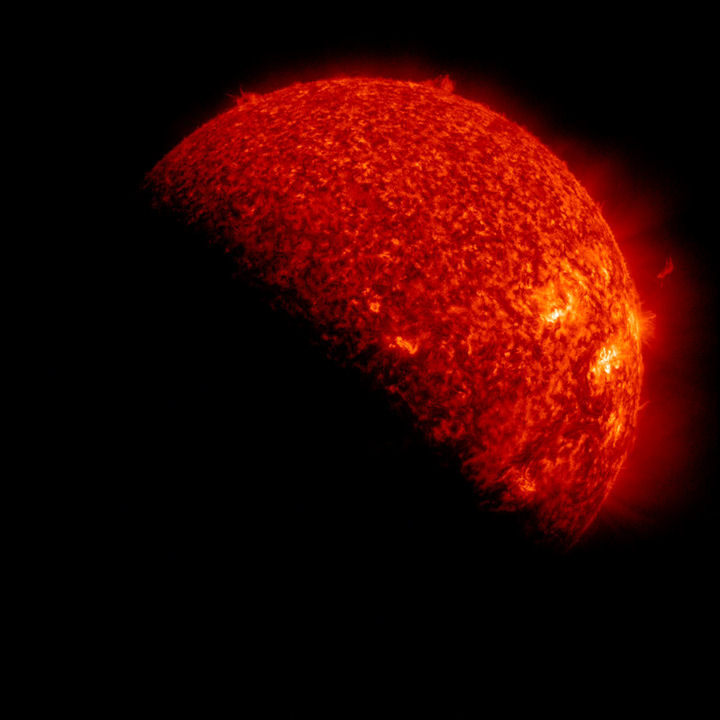
SDO ECLIPSE SEASON: Twice every year, around the time of the equinoxes, Earth can pass directly between the Sun and NASA's Solar Dynamics Observatory (SDO), producing a series of beautiful eclipses from the point of view of the spacecraft. SDO's autumnal eclipse season began yesterday, Sept. 6th, with a partial blackout of the sun:
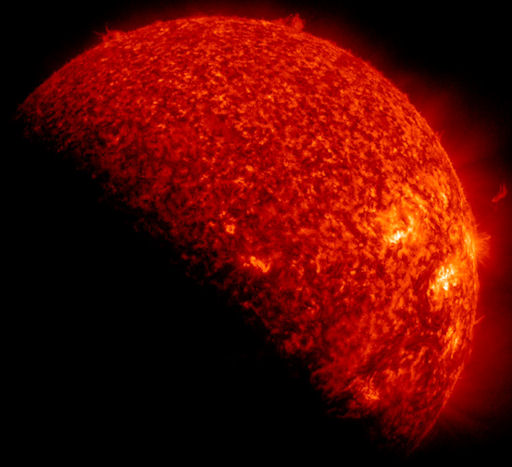
During the eclipse, which was centered around 0700 UT, Earth covered about half of the sun. Because these eclipses typically last only a few minutes, there is still plenty of time remaining in the day for SDO to monitor activity on the sun. The observatory won't miss much even with Earth occasionally getting in the way. The ongoing eclipse season will end on Sept. 26th. Between now and then, stay tuned for some rare blackouts.
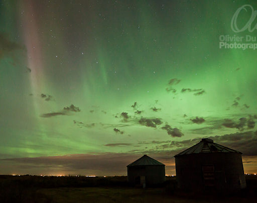
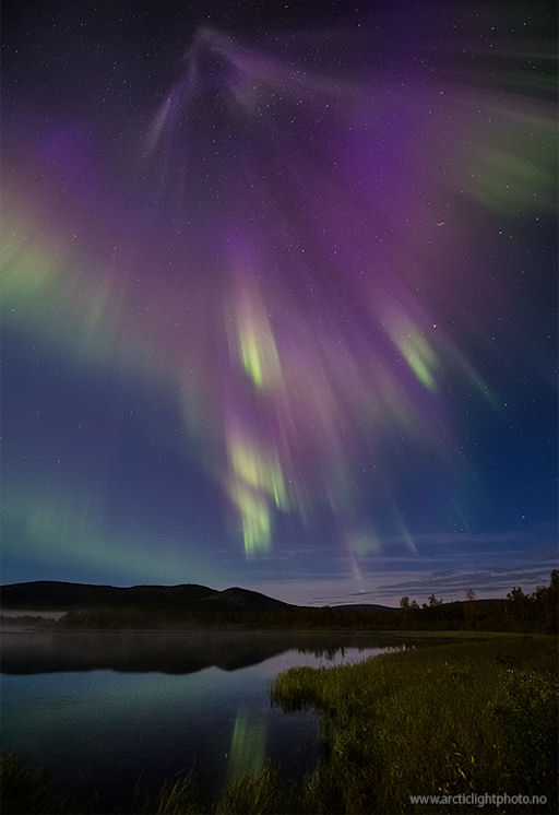
MAGNETIC UNREST: Earth's magnetic field is still reverberating from a pair of CME impacts--a relatively strong blow on Sept 3rd followed by a lesser hit on Sept. 4th. The double strike ignited auroras around the Arctic Circle that are only slowly fading. Olivier Du Tré photographed this apparition over Red Deer, Alberta, on Sept. 5th:


 September 3, 2012

